|
The Estate Surveys and Maps of c.1725
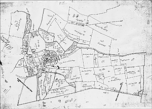
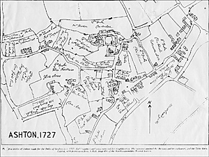
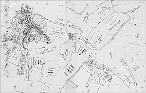
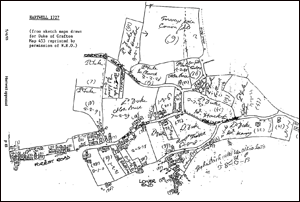
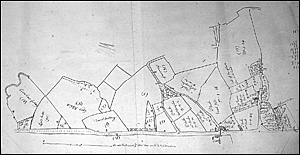
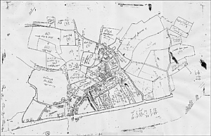
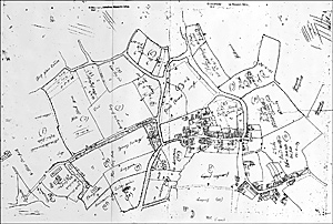
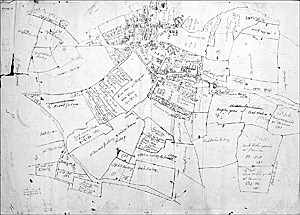
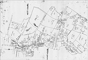
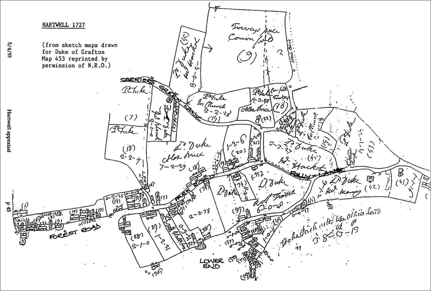
As indicated in the History of the Estate, when the 2nd Duke of Grafton took full administrative control of the honor of Grafton in 1723, he instituted a thorough survey of his holdings to ascertain their extent and value. A survey of the Grafton Estate was carried out by Collier and Baker over the next two years, and many of the maps they drew of villages and holdings have survived. It is not known in which order they surveyed the villages, so the surveys have been designated as "c.1725" These surveys are important to local and family historians because the numbers given by the Duke's surveyors to the individual properties and holdings mostly stay with that farm, house or cottage through the next 150 years. This enables changes in houses and holdings to be tracked. Available surveys have been listed below. Note that the surveyors seem to have been grouped round the maps when they drew them, so numbers and labels are not all aligned for easy reading! Also, calculations, test sketches and "doodles" appear around the edges of the maps and are not meant to represent previously unknown properties. Once all the villages had been done, a calculation of the Estate's size and value was made (click here for details) and much larger maps were done in colour, with the houses and fences shown in projection form. These maps seem to have been produced along with the others here over the next two years. One of these large coloured 1727 maps has survived, though in poor condition, with many details illegible through water and mould damage. Where available, usable details have been included in relevant village histories.
|
