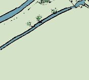
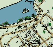
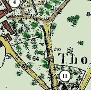
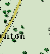
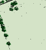
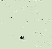
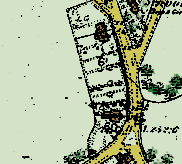
Thornton Map 1881 (adapted from the Ordnance Survey)
Click here for Map of Thornton in 1925
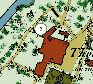
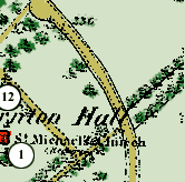
The Church of St. Michael and All Angels
Thornton College (formally called The Hall)
Fountain and Garden
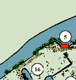
Coach House & Stables
Boathouse
Grotto
Gardens
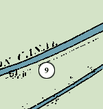
Chalk pit and lime kiln
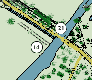
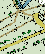
Grand Junction Canal (Buckingham Arm)
Quarry and ice house
Village school for boys and girls
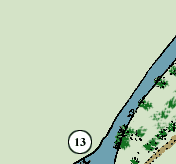
Steps l
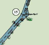
Waterfall
(perhaps to regulate height of water for ford)
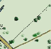
Track to ford
Sluice gates (to lower water for ford)
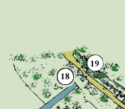
Duck and fish pond
Home Farm
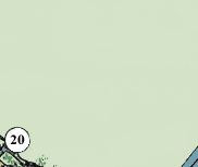
Old stone bridge
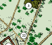
Lattis iron bridge
Lattis iron bridge
Lattis iron bridge
Steps II