Skip to content

Hanslope and District Historical Society

a member of Milton Keynes Heritage Association

Menu

  • Home
  • Village history
    • Lords of the Manor
      • Lincoln Estate
    • Hanslope Castle
    • Crimean War – William Tame
    • WW2 in Hanslope
    • Village Schools
      • Fire at Church End School 1919
    • Lacemaking in Hanslope
  • Hanslope Personalities
    • Joseph Knibb (Clockmaker) 1640-1711
    • Humphry Repton 1752-1818
    • Alexander McKay Prizefight 1830
    • Squire Watts Murder
  • Places of Worship
    • St. James the Great
      • St. James Clergy
    • Chapels
  • About us
    • Contact us
  • Hanslope Roll of Honour

Aerial views

You are here: Home » Photographs » Aerial views
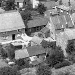
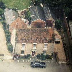
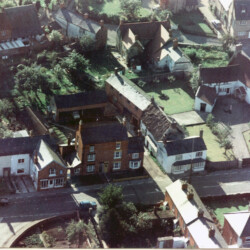
Aerial view of the rear of 10 High Street 1930/1940s
Source HDHS archive
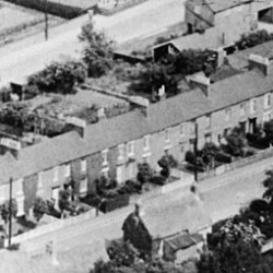
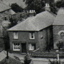
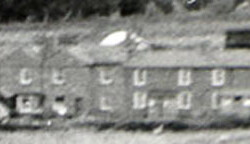
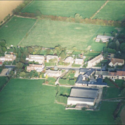
11-29 High Street 1930/1940s
This row of cottages is known as 'Widows Row'. HDHS archive
12 High Street (Crick House), c 1940
Aerial view from 1930/40s Number 12 owned extensive gardens in the centre foreground
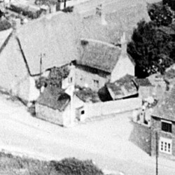
Earl Row off Market Square, 1904
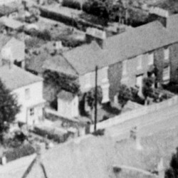
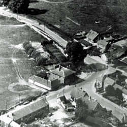
North end of High Street, junction with Castlethorpe Rd. c.1930s/40s
Photo shows back of 2 High St and Salvation Cottages Source HDHA archive
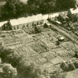
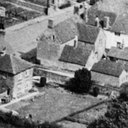
2-8 Park Road c.1940. Demolished for building of Weavers End houses in the 1970s.
Four cottages with long Gardens
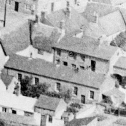
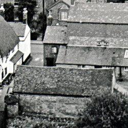
22 High Street 1930s or 1940s
Rear of 22 High Street and its outbuildings is top left. The long building in the centre is the Methodist chapel.
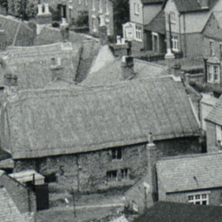
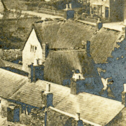
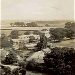
26 High Street From the church tower c1960
This building was demolished in the 1970s. The old roof timbers were blackened by smoke suggesting the building originally had a central fireplace. Source HDHS archive
28 Park Road c.1940
Source: Brian Branson
43 - 45 Gold Street c.1957
Taken from the Church tower In 1900 the building was two houses. Roof of the Swan Inn in the foreground Source HDHS archive
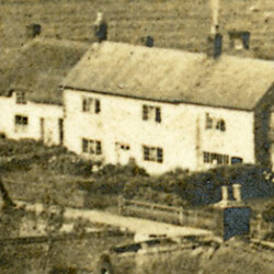
43 High Street c 1957
Taken from the church tower. Cock Inn is to the left HDHS archive
7 Gold Street 1904 From church tower
The thatched cottage at the end of the row was demolished a few years later. photograph from a post card dated 1904. HDHS archive.
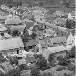
7 Gold Street c.1920s/1930s
HDHS archive
7-9 High Street c.1930/1940
HDHS archive
Barnwell Buildings c.1950
Barnwell Buildings taken from the Church Tower in 1950 Source HDHS archive
Barnwell Buildings in 2007 from the church tower
Source HDHS archive
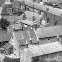
Barnwell Buildings viewed from the church tower.
The roof of the thatched cottage that stood between the working mens club,and the bakehouse can be seen.
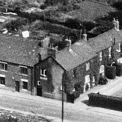
Butchers shop in Gold St. c.1957
Taken from the church tower c.1957 Source HDHS archive
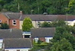
Castlethorpe Road cottages on the site of the former Salvation Army barracks.
Now rebuilt as Faitih Terrace
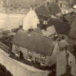
Church End early 1900s, Taken from the Church tower. This house formerly the Old Green Man public house.
Source HDHS archive
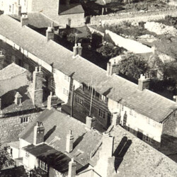
Church Lodge from the Church Tower c.1900
Source HDHS archive
Coronation Cottages c1962
Taken from the Church Tower 1962 Sometimes referred to as Coronet Cottages Source HDHS archive
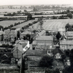
Eastfield Drive
date unknown
Eastfield Drive, St. James Close and the church
Gold St. looking north
Taken from the church tower c.2000
Gold St, c.1904, view from the church tower
Gold Street 1960 from the church tower
This shows the Swan Inn yard before demolition and the old cottages at 1 Newport Road. HDHS archive.
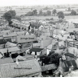
Hanslope about 1970; Eastfield Drive and Weavers End under construction.
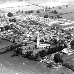
Hanslope from the south, taken in the early 1970s
Source uncertain.
Hanslope Park House in WWII, 1945
Hazel Row, off Newport Road from church tower. c.1957
HDHS archive
Hazel Row off Newport Road 2007 from the church tower.
HDHS archive
High St and Castlethorpe Rd before St James Close was built
High Street from the church tower c.1957
The photo shows several buildings of historic interest which have since been demolished, including the extension at the back of Stafford House and Coronation Cottages.
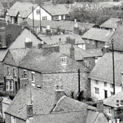
High St showing the Cock pub and the back of 4 Gold Street.
photo taken from the Church tower showing the back of 4 Gold Street HDHS archive
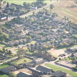
High St. from the church, view from a postcard dated 1904
source Amy Wray
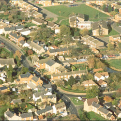
Long St., Castlethorpe Rd., Western Drive, and Hanslope Combined School and Stocking green farm
approx late 1990s
Long St including the Globe lower right
Long Street at Forest Road junction c.1958
Source uncertain
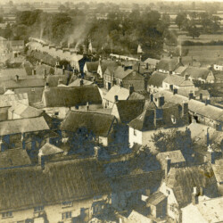
Market Square from the church tower c.1930
The view includes the cottages in Fish Street, now gone, and Buckingham Terrace can be seen at the back of The Black Bull. Source: HDHS archive
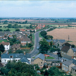
14 High Street in the 1970s, formerly the New Inn.
HDHS archive
Cottages at Newport Road/Gold Street junction From Church Tower 1957
HDHS archive
Newport Road from the Church tower c.2003
Newport Road, previously called Chase Lane, Cook Oak Lane, Kingston Lane or Flea Lane. HDHS archive
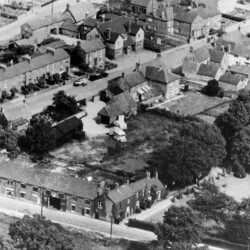
High Street, north end, c.1930s or 40s.
The cottages in the foreground have been demolished and replaced by Faith Terrace Source uncertain. HDHS archive
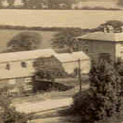
North end of Long St.
the old vicarage in the 1950s from the church tower
The building in the centre of the picture is thought to have been used as a surgery when the house was occupied by physician Thomas Heygate in the 1800s HDHS archive
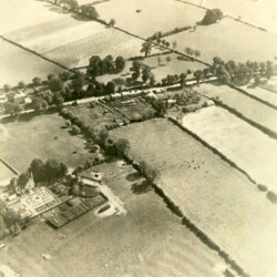
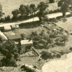
Rectory Farmhouse in Park Road c.1940
Taken from south-west showing the backs of cottages on the west side of Park Road. Also shows 28 Park Road and the former Rectory Farmhouse. The former vicarage, now Vicarage Court, is visible middle left of photo. Source Brian Branson
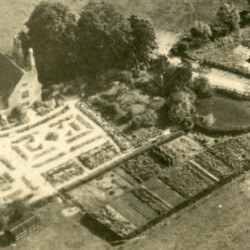
Park Road viewed from the church tower, prior to building Weavers End, etc.
Rectory Farmhouse c.1940
This photograph provides a good view of the kitchen gardens, which are now part of a field. Source Brian Branson
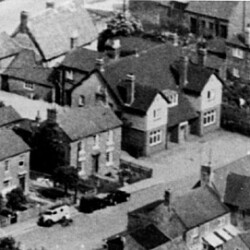
Stafford House from the church tower probably in the 1930s or 40s
Source HDHS archive
Swan public house in Gold St., now a private house.
Swan Yard from the church tower 1957
The Cock Inn, Nos 31-33 on the left 1930/40s
Showing outbuildings to the rear most of which have now been demolished
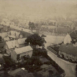
Market Square from the church tower c.1920
Some of the old houses no longer exist , one being the large house at the rear end of Caucutts Yard. Source HDHS archive
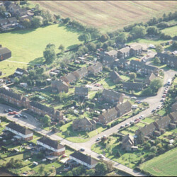
New Inn, 14 High Street, c.1940
HDHS archive
The Watts Arms in the 1960s before Western Drive was built.
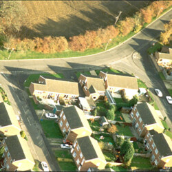
Williams Close, off Long St.
In the background is Green Lane, formerly Bunches Lane. Probably 1990s/2000
Yew Tree Cottages c.1957
Taken from the church Tower. In the foreground is the roof of the Swan Inn. Yew Tree Terrace\Cottages is the group of houses on the far side the road.
Yew Tree Court 1957 from the Church Tower
Yew Tree Court is in the centre of the picture. Yew Tree terrace is just visible on the left. The buildings to the right are two cottages on the Newport Road which have since been demolished. Source HDHS archive
Copyright © 2025 Hanslope and District Historical Society. All rights reserved. Theme Spacious by ThemeGrill. Powered by: WordPress.
  • Home
  • Village history
    ▼
    • Lords of the Manor
      ▼
      • Lincoln Estate
    • Hanslope Castle (Castlethorpe)
    • Church of St James the Great
      ▼
      • Clergy of St James the Great
    • Other places of worship
    • Noted characters of Hanslope
      ▼
      • Joseph Knibb
      • Humphry Repton
      • The Fatal Prizefight
    • Crimean War – William Tame
    • The Hanslope Murder
    • World War II experience in Hanslope
    • Village Schools
      ▼
      • Tragedy at Church End School, Hanslope 1919
    • Lacemaking in Hanslope
    • Northampton Mercury Press Cuttings 18-19th C
  • Village Records
    ▼
    • Church Records
    • Maps and surveys
    • Censuses
    • Electoral Rolls
    • Directories
    • Other Documents
    • Photographs
    • Wills
    • Financial Records
  • About us
    ▼
    • Contact us