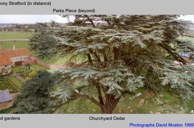
Original Calverton Panorama taken from the Church Tower in 1998
It shows most of the important buildings in the main part of Calverton Village (with the exception of the original Rectory, now Calverton House, which is hidden by the trees of its surrounding park).
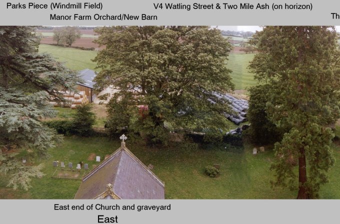
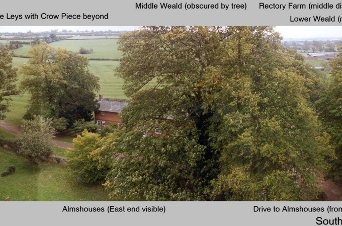
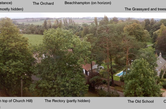
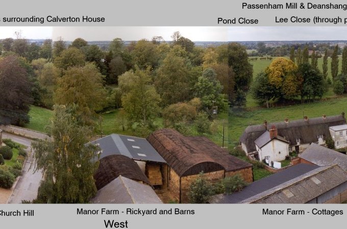
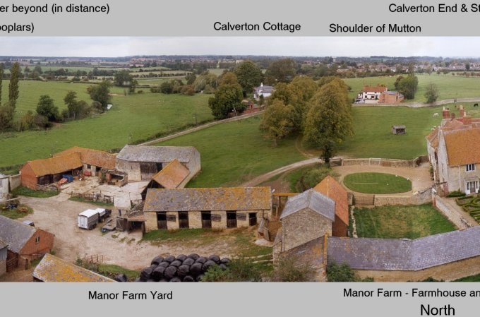
Initially this was the highest practical vantage point for viewing the village and taking photos (pre Google Earth). Although the results were relatively crude by modern standards (the photos were cut and pasted together with real sticky glue!), they were felt to be worth the effort and gave an appetite for more which led to the use of photo- stitching software and proper aerial photography. In this respect the exercise was extremely valuable, but more importantly, it enables us to appreciate the changes over time as the village develops in response to social and commercial factors. The most striking visual change is to the West, where the Dutch barn, other open barns and associated rick yard alongside Church Hill have gone (replaced by a domestic dwelling) seeming to break this historic pairing of working farm and Church but look more closely and new barns can be seen along with the increasingly efficient large round hay bales. Many of the other barns and agricultural buildings have also been converted to domestic use but their visual impact is low and the view rest of the view essentially stays the same.
Calverton Interactive Map 1881
The village of Calverton lies just over 1 mile South of Stony Stratford. It encompasses the Church of All Saints, The Manor House and associated farm buildings, the original Rectory in its parkland setting, the Schoolhouse and the local Hostlery.
Copyright © 2026 | WordPress Theme by MH Themes