Home » Maps » 1796 Enclosure Map – Introduction »
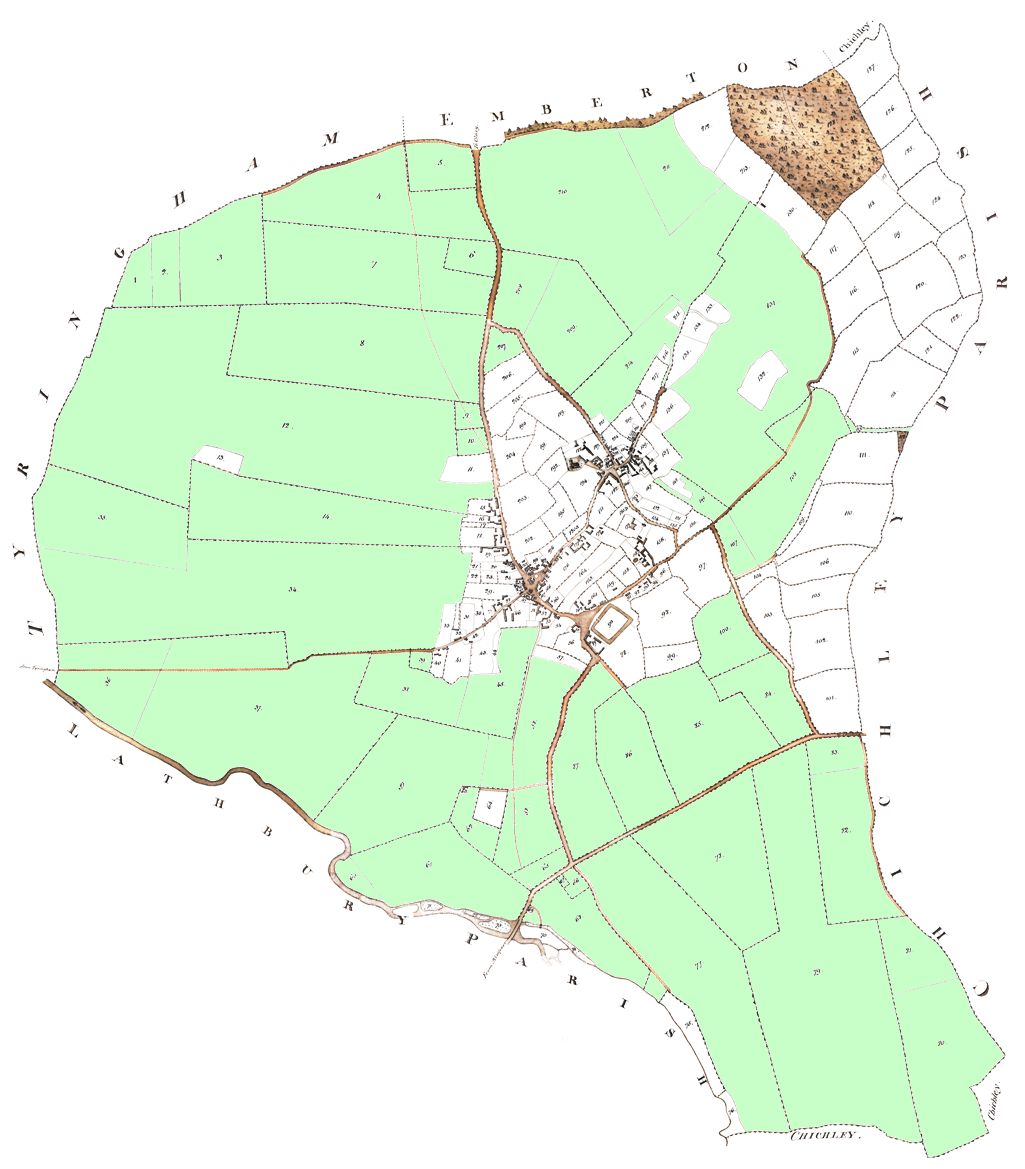
This view of the Enclosure Map has been digitally enhanced to improve readability. The areas shaded green are the old common fields that were divided, enclosed and allocated to individual owners.

| Complete Map: | Original | Digitally enhanced |
Note: You can explore in more detail by following the links on the right. Each sheet has a map and a table of landowners and occupiers.
Maps zoomed in for the North West, North East, South West, South East and the whole village.
Detailed areas for The Knoll, Church End and Crofts End.
Note:- You can cross reference earlier records – by following the links below.
