Home » Maps » 1796 Enclosure Map – Introduction »
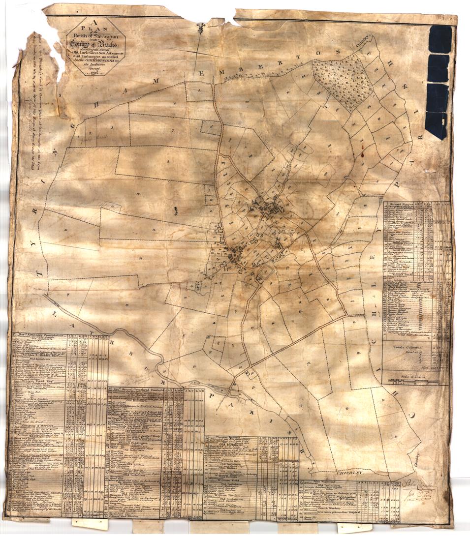
The following is a view of the original map. SHS has a 221MB, 9547×10956 pixel, TIFF file of the original map. As this is too large for the web site, the copy here is 955×1096 pixels, one tenth of the size.

| Complete Map: | Original | Digitally enhanced |
Maps – use the digitally enhanced link to find more detail maps with owner/occupier details.
Use the links on the right to see the following:
- The table of names shown on the Enclosure Map.
- People – the transcription of the column data sets.
- Associated Text – a transcript of the first 6 and 2 last pages and a typical page describing 6 of the allotments (Page 23).
