Home » Maps » Ordnance Survey Maps – Sherington »
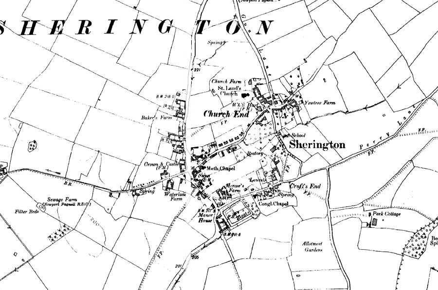
This is from the 6 inch (1:10,560) OS map of 1926.

Notable changes from the 1900 map include the 10 new semi-detached houses on the north side of Church Road, and the disappearance of some of the cottages on the east side of Gun Lane.
Other Ordnance Survey maps:
| 25 inch to 1 mile (1:2,500): | 1882 | 1900 | 1925 |
| 6 inch to 1 mile (1:10,560): | 1885 | 1900 | 1926 | 1952 |
