Home » Maps » Reconstructed Map for 1300 »
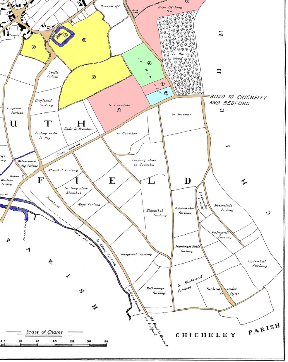
This map shows how the south east part of Sherington might have looked c.1300. It is not an actual old map, but a reconstruction by Professor Chibnall originally published as Map 4 in his book “Sherington: Fiefs and Fields of a Buckinghamshire Village”.

Other dates: South East in 1580 – South East in 1796.
